Border geo-coordinates: , [Open on OpenStreetMap, OpenRailwayMap]
Status:
#CrossBorderRail assessment:
Date(s) visited during #CrossBorderRail project:
Core Data
Track gauge:
[Check this on OpenRailwayMap]
Max speed: km/h
[Check this on OpenRailwayMap]
Number of tracks:
[Check this on OpenRailwayMap]
Electrification:
[Check this on OpenRailwayMap]
Train control system:
[Check this on OpenRailwayMap]
European Commission Political Assessment
Importance to border region:
Importance to countries concerned:
Importance to TEN-T network:
TEN-T corridor:
European Commission Administrative Data
Infrastructure manager:
Language of operation:
Competent authorities for PSO passenger services:
Railway undertaking(s):
Ministry of transport:
European Commission Historical Data
Inauguration:
Closure:
Passenger services:
Length of cross border section:
Average speed of cross border section:
Daily passenger flow:
Background
Border on the Enniskillen and Bundoran Railway.
Creative Commons Images
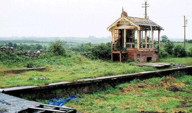
Old railway station, Ballyshannon, by Albert Bridge, 25 July 1981, CC BY-SA 2.0
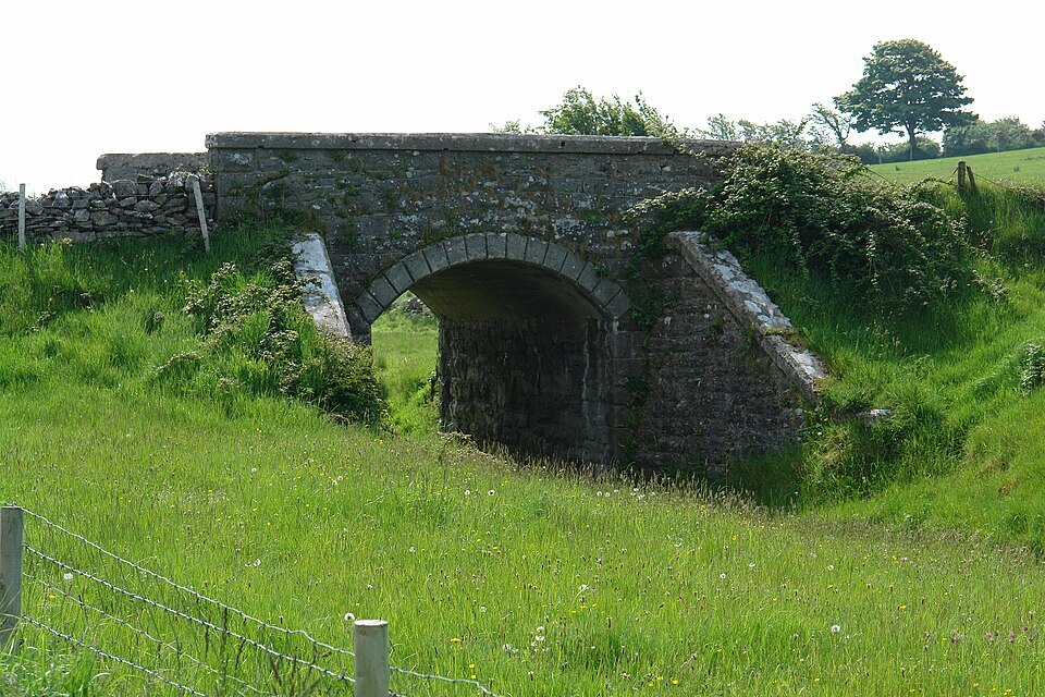
Road bridge over former railway line in Tonregee near Ballyshannon, Donegal (N 54° 30′ 52″, W 8° 12′ 29″), NearEMPTiness, 27 May 2016, 12:19:38, CC BY-SA 4.0